

Air quality in Sacramento County
Air quality index (AQI⁺) and PM2.5 air pollution in Sacramento County • 643.6K Followers • 10:00, Apr 23 Local time
14
US AQI⁺Good

Main pollutant:
O₃
34 µg/m³
12°
2 km/h
92 %
Hourly forecast
Sacramento County air quality index (AQI⁺) forecast
Daily forecast
Sacramento County air quality index (AQI⁺) forecast
| Today | 14 | 23° 8° | 12 km/h | 68% | |
| Fri | 27 | 21° 8° | 16 km/h | 71% | |
| Sat | 44 | 19° 9° | 16 km/h | 64% |
Air pollutants
What is the current air quality in Sacramento County?
PM2.5 concentration currently meets the WHO annual PM2.5 guideline.

Health recommendations
Enjoy outdoor activities |
Open your windows to bring clean, fresh air indoors Get a monitor |
Protect yourself from air pollution in Sacramento County

Air Purifiers

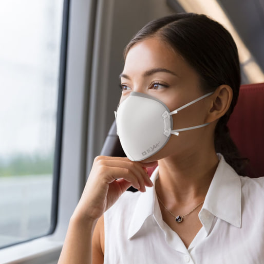
Face Masks

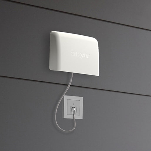
Air Quality Monitors
Pollen
What is the pollen count in Sacramento County today?
Index

Low
Tree Low | 25% |
Grass Low | 25% |
Weed Low | 25% |
Source:
wetter.comHealth recommendations
Enjoy outdoor activities |
Open your windows to bring clean, fresh air indoors Get a monitor |
Pollen
What is the pollen count in Sacramento County today?
Index
Low
Tree Low | 25% |
Grass Low | 25% |
Weed Low | 25% |
Source:
wetter.comProtect yourself from air pollution in Sacramento County
Air Purifiers
Face Masks
Air Quality Monitors
Most polluted locations near Sacramento County
Worldwide AQI⁺ rankingStation ranking
Real-time AQI⁺ station ranking for stations in Sacramento County
City ranking
Real-time USA AQI⁺ city ranking
Historic air quality near Sacramento County
History
Historic air quality graph for Sacramento County
Historic air quality near Sacramento County
History
Historic air quality graph for Sacramento County
Most polluted locations near Sacramento County
Worldwide AQI⁺ rankingStation ranking
Real-time AQI⁺ station ranking for stations in Sacramento County
City ranking
Real-time USA AQI⁺ city ranking


Measure your own air quality
Get a monitor and contribute air quality data in your city.


Learn more about air pollution in Sacramento County
What is the air quality in Sacramento?
Air quality in Sacramento generally averages a US AQI rating of less than 50, or “good.” The “good” air quality distinction describes air that is satisfactory and poses little to no risk to health.
PM2.5 is one of six criteria pollutants measured by the US Environmental Protection Agency (EPA) to determine an air quality rating. Due to the pollutant’s prevalence and relatively high health risk, it is often responsible for determining the overall air quality index (AQI). In 2019, Sacramento averaged a PM2.5 level of 8.7 ug/m3, thereby meeting the World Health Organization (WHO) target for annual exposure (< 10 μg/m3). November, December, and January experienced average ratings of “moderate” that failed to meet US EPA standards. November was the most polluted month of 2019, with a monthly PM2.5 average of 21.9 μg/m3, or AQI 72, followed by December (15.9 μg/m3) and January (13.6 μg/m3).
Elevated pollution levels in the winter are common around the world. This is typically because of increased wood burning and heating as well as temperature inversions that prevent polluted air from dispersing. In 2019, particularly during November, elevated air pollution levels in Sacramento were largely attributable to wildfires, such as the Ranch fire in Tehama County that burned more than 2,500 acres, and the Kincade fire in Sonoma County that burned 77,758 acres.1,2 Winter months in Sacramento also experience strong cool air inversions as a result of the city’s high-pressure system, which can contribute to sustained high air pollution levels.
Ozone is another pollutant of concern in Sacramento. Nationally, Sacramento is the fifth most ozone-polluted city according to the 2019 State of the Air report released by the American Lung Association, comparing 228 metropolitan areas.3 Although the city’s ranking has remained relatively consistent for the last several years, true ozone levels have actually gone down by 40% in the last 20 years.4 Still, Sacramento experiences an average of 25 high-ozone days annually, far above the recommended target of 3 days or less.3
Air pollution data varies hourly and daily. In order to properly protect oneself from the health effects of air pollution, refer to the top of this page for Sacramento’s forecast air quality data and real-time air quality data.
Has air quality improved in Sacramento?
Since the establishment of the Clean Air Act and more recent legislation including the 1990 amendments, air quality has drastically improved across the state of California.4 In 2007, regulations on wood burning contributed to a 41% decrease in PM2.5 levels over 4 years. But since 2011, Sacramento’s progress has not been a straight line. Sporadic and unpredictable wildfires greatly influence yearly averages, making air pollution levels more difficult to control.
Year-over-year data, for example, shows that Sacramento’s air quality rose 27.8% from 2017 to 2018, then fell 40.8% from 2018 to 2019. These fluctuations reflect an unusually severe wildfire season in 2018. This wavering record for PM2.5 levels, however, has resulted in no clear improvement trend since 2011.
While particle air pollution and overall AQI in Sacramento has remained relatively stable in recent years, actual city-wide emissions of particulate matter and ozone precursor pollutants have steadily decreased due to implementation of local, state, and federal emission control programs.
Ozone is usually formed in the atmosphere from volatile organic compounds (VOC) and oxides of nitrogen (NOx) reacting to ultraviolet radiation. Emissions for both precursor pollutants have fallen steadily in recent years despite gains in population, vehicles, and economic development. The largest reduction in this segment is attributable to gas-powered vehicles. From 2000 to 2015, effective regulations on vehicles have resulted in a 66% reduction of VOCs and a 62% reduction for nitrogen oxides.4
The most recent legislation governing Sacramento air pollution was established in 2017 by Governor Jerry Brown under Assembly Bill (AB) 617. The bill seeks to protect communities disproportionately impacted by air pollution through a five-pronged approach: increased community-level air monitoring, emission reduction plans, review and retrofitting of industrial facilities, more comprehensive emission reporting requirements, and greater penalties for polluters.5 While such continued efforts are critically important to further reducing pollution levels in the area, the true effect of this legislation on air quality levels is yet to be seen.
Why does Sacramento have unhealthy air quality?
Sacramento’s unhealthy air quality is largely the result of transportation exhaust, which serves as the most significant single source of air pollution in the area.6 Daily emissions are often exacerbated by environmental factors of the Sacramento valley, which can lead to an accumulation of polluted air. These factors include temperature inversions, high heat, abundant sunshine, surrounding mountains, and relatively stagnant air.
Temperature inversions are a weather phenomenon in which warmer air is layered on top of cooler ground-level air, preventing the cooler air from dispersing. In Sacramento, temperature inversions occurring in the summer, fall, and winter differ by origin, but are similar in effect. Summertime temperature inversions, also called marine inversions, are the result of cooler marine air trapped under hot summer air flowing in. These inversions tend to be less severe in their impact on air quality than the cool air inversions of the fall and winter, which result from a high pressure cell. Inversions during fall and winter, brought on by pressure systems, are not easily affected by wind and, as a result, tend to have a more significant impact on air quality. In 2019, the most polluted months in Sacramento were November, December, January, and October (in that order).
Wildfires have also recently contributed to short-lived pollution spikes. Air pollution resulting from the 2018 Camp Fire, for example, caused the Sacramento air quality index to reach “hazardous” levels, topping the Major City Ranking for worst air pollution globally for several hours.7 As global warming contributes to increasingly hotter and drier climates, the frequency and severity of wildfires is expected to increase.
The live Sacramento air quality map is useful in determining the origin of polluted air and discovering factors that determine real-time readings. Such analysis, for example, can indicate whether pollution is blown in from wildfire smoke or elevated due to summertime marine inversions.
Where is air quality worse, San Francisco or Sacramento?
Sacramento air quality consistently fares worse than San Francisco air quality for measures of short-term ozone, short-term PM2.5, and annual PM2.5.
Short-term ozone pollution is evaluated as a number of days per year that exceed 24-hour guidelines. The US EPA recommends a yearly allowance of no more than 3.2 unhealthy days per year. In the 2016 to 2018 monitoring period, Sacramento averaged 25 unhealthy ozone days per year, while San Francisco averaged zero unhealthy ozone days per year.
The US EPA sets the same standard for short-term PM2.5, requiring that the number of unhealthy PM2.5 days per year not exceed 3.2. In the 2016 to 2018 monitoring period, Sacramento averaged 11.3 unhealthy PM2.5 days per year while San Francisco averaged slightly less at 9.2 unhealthy PM2.5 days per year.
Annual PM2.5 concentrations are typically evaluated in terms of the US EPA standard (less than 12 μg/m3) or the WHO standard (less than 10 μg/m3). Over the last three years, Sacramento consistently experienced higher annual PM2.5 averages than San Francisco:
| City | 2017 | 2018 | 2019 |
|---|---|---|---|
| Sacramento | 11.5 μg/m3 | 14.7 μg/m3 | 8.7 μg/m3 |
| San Francisco | 10 μg/m3 | 12.6 μg/m3 | 7.1 μg/m3 |
Sacramento also tends to fare worse for air quality than other Bay Area cities, reporting a higher annual AQI (36) than Oakland (AQI 29), Santa Rosa (AQI 28), San Jose (AQI 27), and Walnut Creek (AQI 27).
When is the smoke going to clear in Sacramento?
Wildfires can burn for days and weeks at a time. Environmental scientists have found that recent years have been increasingly prone to long-burning and severe wildfires, a trend attributed to human-caused climate change. Likewise, Sacramento air quality has been trending toward more unhealthy pollution days per year, as a result.
Even during prolonged periods of sustained nearby wildfire emissions, measured air quality in Sacramento may vary drastically day-to-day, hour-to-hour. Weather is a key indicator. Wind, precipitation, and temperature conditions all play significant roles in determining Sacramento’s current air quality. Wind and rain can help disperse and tamp down pollution, while a lack thereof can cause emissions to accumulate. High-pressure cells and thermal inversions can also be indicative, determining whether emissions disperse naturally or become “trapped.”
IQAir forecast air quality data for Sacramento uses machine learning to analyze millions of data points, such as air quality and weather measurements, in order to predict when smoke in Sacramento will clear. While wildfires are difficult to predict, as an ever-changing emission source, forecast air quality data can be a useful tool for planning ahead to reduce one’s pollution exposure.
+ Article Resources
[1] Cal-Fire - Ranch Fire. (2020).
[2] Cal-Fire - Kincade Fire. (2020).
[3] State of the Air – 2020. (2020).
[4] Air quality trends. (2020).
[5] Community air protection. (2020).
[6] Lorenzen A. (1974). Climate of the Sacramento Valley air basin. California Air Resources Board: Division of Technical Services.
[7] Masters J. (2018, November 16). Smoke from Camp Fire making Sacramento the most polluted city on Earth.


Where is the cleanest air quality in Sacramento County?
- SMUD EC-OC1
- Elder Creek Road2
- May Street3
- Perazul Circle3
- Robla School4
- Kipping Way5
- River Isle Way5
- Capstan Way6
- Curtis Park6
- Santa Ynez sensor6
- 5724 Lonsdale Drive7
- Briar Cliff Way7
- FourSeasons7
- Bay River Way8
- Sandburg Drive8
- Southern Pacific / Richards8
- Virginia Way8
- 14th Street & C Street9
- 312 Main AVE9
- 4700 Crestwood Way9
- Forney Way9
- Hughes Stadium9
- Lamberton Cir9
- S. Natomas9
- Arcade and Diggs Park10
- Belle Cooledge Park10
- Highland Avenue10
- Kennady Lane10
- Morley Way10
- Natomas Park10
- North Sacramento10
- Valletta Way10
- 13th & T Street11
- 751 Clipper Way11
- Bell Avenue School11
- Lightner Court11
- Rosebriar Court11
- Southeastern Sacramento 211
- Witter Ranch11
- 1014 Robertson Way12
- Southwestern Sacramento Station12
- Tschannen Science Complex12
- 1840 65th Street13
- 48th Street13
- Alhambra Triangle13
- Benicia Hall13
- City Hall Complex13
- Colonial Heights - 56th St13
- Med Center13
- Dorothy Hill St14
- Grangers Dairy Drive14
- Mc Kinley Boulevard14
- 52nd Street15
- 57th Street15
- Myrtle Vista15
- 629 Grand Avenue16
- 58th Street, East Sacramento17
- Bercut Dr17
- East Road17
- Valley Hi / North Laguna 217
- Main Avenue School18
- Helen Way19
- Willow Creek20
- Del Paso Heights21
- Downtown Sacramento - T Street28


